


Because "close enough"
isn't in our vocabulary.
Surveying & Technology
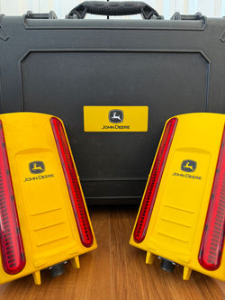
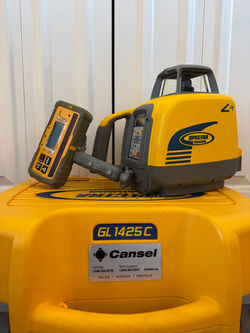
Joe Dirt Excavation brings a high level of accuracy and professionalism to every project through advanced surveying tools and modern machine technology. As a Geomatics Engineering Technologist, with 20 years experience in the construction field, I work directly from plans and digital layouts using professional-grade equipment such as a Spectra dual-slope laser level and RTK GNSS positioning systems to achieve precise elevations, grades, and site measurements. This technology-driven approach reduces guesswork, improves efficiency, and ensures tighter tolerances across residential, commercial, and development projects.
Our RTK setup, utilizing a Hemisphere S631 multi-GNSS smart antenna, delivers centimeter-level precision, about 1 inch horizontally and 1–2 inches vertically under proper conditions. This allows for highly accurate point staking, grade setting, and layout control, even on complex sites. In addition, select equipment is equipped with John Deere SmartGrade™ 2D grade control, enabling real-time blade and bucket positioning directly from digital plans. The combination of field surveying expertise and integrated machine control results in cleaner finishes, improved drainage accuracy, less rework, and a smoother overall construction process for our clients.
 |  |  |
|---|